
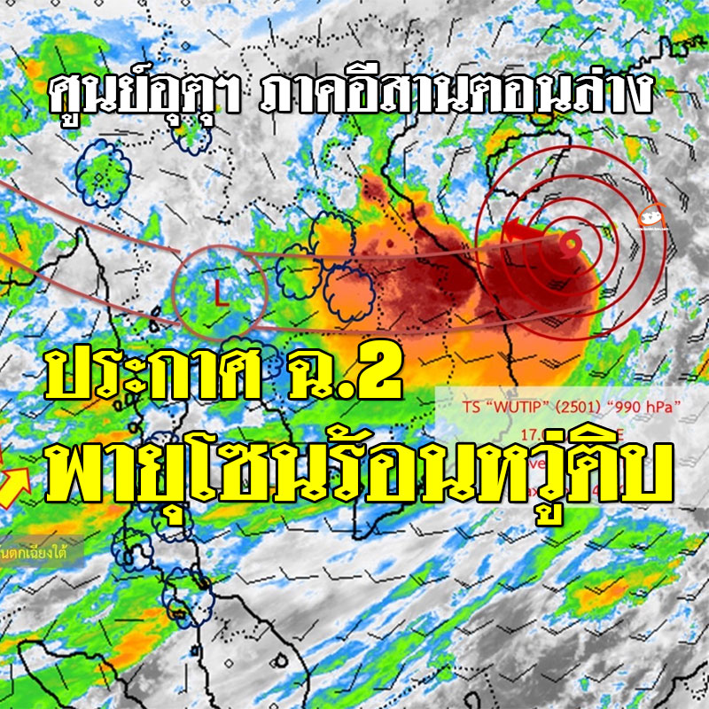
June 12, 2025 at 5:00 AM Lower Northeast Meteorological Center
Notifications
No. 2 (31/2568)
Subject: Storm "Wu Tib" in the Upper South China Sea
At 4:00 AM, of today (12 Jun 68)Tropical Storm “Wu Tib”The upper South China Sea region is centered about 160 kilometers to the south of Hainan Island, or at 17.0 degrees north latitude, 110.5 degrees east longitude, with a maximum wind speed near the center of about 65 kilometers per hour.
The storm is moving slightly to the west, at a speed of about 15 kilometers per hour, and is expected to move through Hainan Island into southern China during June 13-14, 68, after which it will weaken to a deep depression and low pressure, respectively.
Those traveling to the area are asked to check the weather before leaving during the day.The center of this storm will not move into Thailand.but may strengthen the southwest monsoon that covers Thailand, causing the eastern part of theThe Northeast has increased rainfall and heavy rainfall in some places.And the winds in the Andaman Sea and the Gulf of Thailand are quite strong.
If the situation changes, the Meteorological Department will immediately notify. Therefore, the public is asked to closely monitor the announcement from the Meteorological Department and can follow the information on the Meteorological Department website http://www.tmd.go.th or at 0-2399-4012-13 and 1182 24 hours a day.